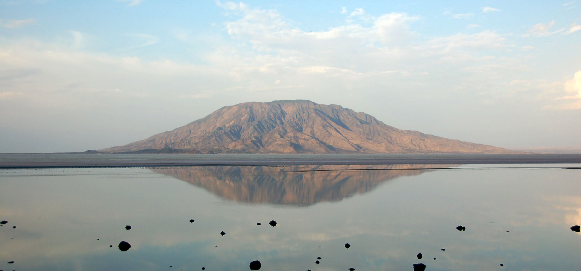
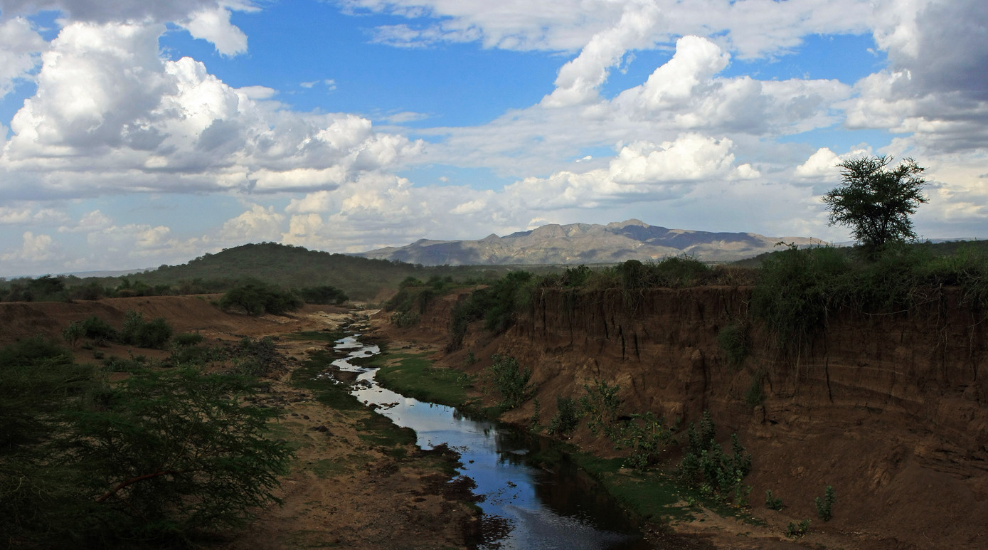
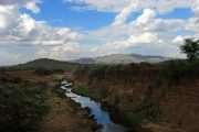
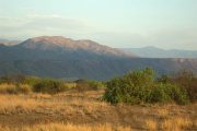
Shompole Hill’s position on the northern side of Lake Natron is its single most appealing feature. The spectacular delta/swamp produced by the Southern Ewaso Ng’iro river as it pours into the lake at the end of its lengthy voyage, nearly 200 kilometers from the Mau Escarpment, may be seen from its heights.
The lowlands surrounding Shompole Hill are 600 meters above sea level, with daily temperatures reaching 38-41 degrees Celsius and predominantly rocky terrain. A few acacia and euphorbia trees have taken root in this parched wasteland, maybe serving as a forerunner for more species to come, with 6-foot anthills contributing to the odd scenery that stretches all the way up to the eastern banks of the Ewaso Ng’iro river.
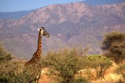
The river’s floodplains, which reach into the distance over the river’s western banks and are covered with a tall, tough grass species, provide a view of Shompole Hill. Maasai herders do not appear to graze their livestock in this location, presumably to save it for emergencies such as droughts. When it’s colder, herds of Zebras, Giraffes, and Elephants come out in the nights to feed in the region.
How to Get There
Shompole Hill is not accessible by public transportation. To get there, you’ll need a 4WD car.
Take Lang’ata Rd, then Magadi Rd, all the way to Lake Magadi’s factory and town, passing via Ongata Rongai, Kiserian, and Kona Baridi. Beyond Lake Magadi, the asphalt road is replaced by a marram track that crosses a dry lake in some portions before climbing up onto a dusty track that takes you past Oloika and Shompole. Don’t cross the bridge to Shompole Conservancy when you see it. Instead, keep left and hug the river until you reach the southern side of Shompole Hill, which is closest to Lake Natron.
Guide
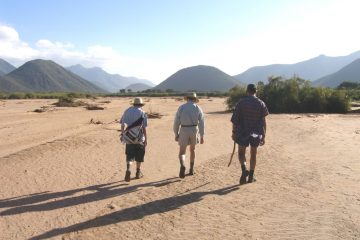
Note: A territorial war is raging between Shompole native guides and a firm at Lake Magadi that claims exclusive rights to all excursions to Lake Magadi, Shompole, and Nguruman. To avoid having to pay twice for your visit, request that the local guide meet you at Lake Magadi.
Shompole Conservancy
The Shompole Conservancy is a huge privately owned and administered conservation area in Kenya’s Great Rift Valley. It is sandwiched between two alkaline lakes, Lake Magadi to the north and Lake Natron to the south.
The conservancy is located in the division of Magadi. The resort is located at the end of the Ngurumani escarpment, about 5 kilometers (3.1 miles) from Lake Natron on the Kenya-Tanzania border. The reserve is part of the Shompole group ranch, which spans 62,700 hectares (155,000 acres) and is held by the Loodokilani Maasai, who have around 2000 registered members. The lodge was shuttered in September 2011 while the proprietors talked to the Maasai tribe about its future and that of the reserve.
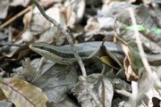
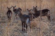
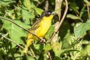
The climate in the conservancy is dry, with the warmest months being October and November, and April and May being the wettest. Umbrella thorn trees and multicolored toothbrush tree are examples of flora adapted to semi-arid environments. The Ewaso Ng’iro (Brown River), which runs into Lake Natron from the Mau forest to the north, is the primary source of water. The riverbanks are covered in riverine thickets. Giraffe, buffalo, elephants, gerenuk, and oryx are examples of wildlife.
Accommodation
There are no serviced campsites within walking distance of the hill. As a result, you’ll need to carry adequate water for cooking and drinking, as well as tents and other camping gear. To pitch your tent, choose any good location along the river. Alternatively, you may stay at the tented sites at Shompole Conservancy, which are a little further away from the hill.
Make plans for your Guide’s lodging and meals, or ask him if he’ll be able to make his own arrangements. Local guides frequently forget to ask for your help with these issues, yet they still expect it.

