Lake Rutundu Tour
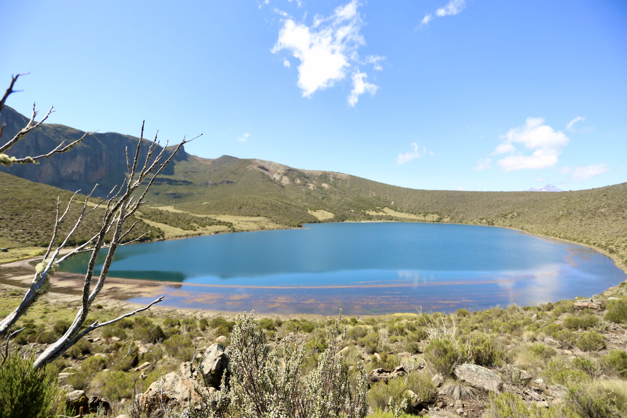
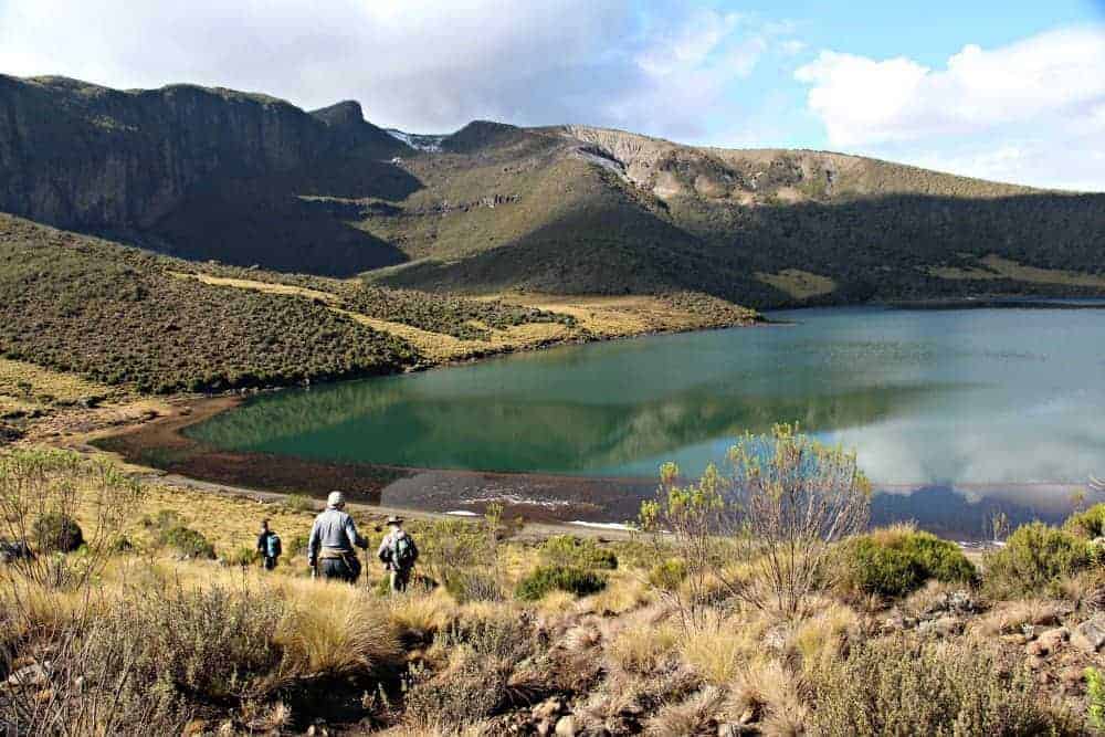
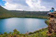
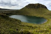
At a height of 3100 meters, Lake Rutundu is the fourth largest of Mt Kenya’s great lakes and the farthest from the summits. It is located in a crater at the base of the flat-topped Rutundu Hill. It received a lot of media attention in 2010 when Prince William of the United Kingdom proposed to Kate Middleton while on vacation there. Trout fishing, boating, and hiking in the neighboring sceneries are all popular activities in the area. Another visitor’s lyrical account of Rutundu could give you a better idea of what to expect.
A 35-kilometer dirt road branching off the Nanyuki-Meru road at Kisima junction leads to the Rutundu road head, providing access to Lake Rutundu and the other major lakes.
This road might take up to 4 hours to travel. An airfield 1.5 kilometers from Lake Rutundu and a helicopter landing area 100 meters from the lake provide convenient access by air for the rich.
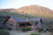
You may pitch a tent in a designated campground a short distance from the car park, with easy access to the river, after you arrive at the roadhead. You may also stay at the Rutundu Log Cabins, which are located across the deep Kazita river valley. These chalets, which front Lake Rutundu and provide a private vacation escape, are operated by the Lewa Conservancy.
Lake Rutundu to Lake Alice tour
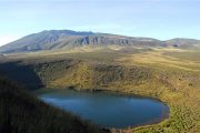
Lake Alice, at 48 acres, is the largest of Mt Kenya’s major lakes, perched in a crater on Ithanguni Hill, northeast of the main peaks. It was discovered in 1935 by Kenneth Gandar-Dower and Raymond Hook on their hunt for the fabled Marozi, the spotted lion. The Duchess of Glouchester, Princess Alice, had attempted to climb Mt Kenya the previous year (1934), but was forced to retire at 4300m due to bad weather. Following her journey to the mountain and subsequent marriage to Prince Henry in the same year, the lake was named in her honor.
It takes around 2 hours to go from Lake Rutundu to Lake Alice, largely uphill on a well-worn track that cuts between Protea and Giant Heather plants. You’ll have clear views of Mt Kenya’s major peaks in the distance along the trip. The route ultimately reaches a tussock grass-covered part of the crater rim.
The near side of the crater around Lake Alice is a smooth rounded low ridge that circles two-thirds of the lake’s perimeter, while the far edge is a steep cliff with a bare rock surface that rises to 3850m.
The reflection of this enormous cliff on the placid water surface of the Lake undergoes a spectacular transition in the morning light, as the rising sun’s rays first bathe its rightmost end, then steadily progress, ultimately encompassing the whole wall.
Lake Alice to Lake Ellis tour
Lake Ellis, at 28 acres, is the third biggest of Mt Kenya’s major lakes, after Lake Alice and Lake Michaelson, and is located below Mugi Hill, northeast of the main peaks. It was named after Eric Dutton’s companion, Thomas Evelyn Scott-Ellis, 8th Lord Howard de Walden, who accompanied him on his first visit to the Lake in 1927. It is now a famous fishing area as well as a rest point for hikers passing through Chogoria Park Gate on their way to the peak.
The descent from Lake Alice’s peaks on Ithanguni begins in a southern direction, passing through alpine scrublands, rocky terrain, and areas of dangerous tussock grasslands with no discernable pathways. When the fog lifts, brief views of the spectacular Giants Billiard Table emerge after three hours of grueling bushwhacking, tripping over roots and clumps of grass. Soon after, you emerge from the bushes onto a rocky road that runs from Nkubu town to Chogoria road head, cutting the depths of Mt Kenya. Mr Kiraitu Murungi, a local politician, championed the development of this route in order to boost tourism in Meru County.
You’ll descend to a seasonal river crossing after turning right onto this road, and then ascend the first of several mild ascents past the foot of the Giants Billiard Table. You’ll make another rise as you skirt around Mugi Hill after another drop to a permanent river crossing until you reach a third river crossing at the intersection of this road and the road from Chogoria road going to Lake Ellis. It’s a short but steady 2km ascent from here to the beaches of Lake Ellis, at an elevation of 3470m. The journey from Lake Alice to Lake Ellis takes around six hours and covers a distance of 13 kilometers.
Lake Michaelson tour
This magnificent lake at the beginning of the Nithi River in Gorges Valley is the second biggest of Mt Kenya’s major lakes, at 30 acres, and is framed on one side by the 300m high Temple and another equally high cliff on the other. From this lake, the vistas of Mt Kenya’s highest peaks are unrivaled anyplace else on the mountain.
The views of the lake below from the Temple are equally breathtaking. Halford Mackinder, the first European explorer to reach the peak of Mt Kenya, named this lake after a friend who helped him plan his 1899 journey.
Local guides report that after a plane accident at this lake a few years ago, divers on the accompanying search and rescue expedition determined its depth to be above 70 meters. They also allegedly discovered a vortex in the lake’s depths, which was allegedly created by an underground river fed by the lake.
The trip to Lake Michaelson begins at Lake Ellis and climbs via the Hinde Valley to a steep portion above the Vivienne Falls viewpoint, where it crosses the standard Chogoria trail to Mintos Hut. The trail then descends steeply through the Gorges Valley, over Vivienne Falls, to the 3950m beaches of Lake Michaelson. It takes roughly 6 hours to trek the entire route from Lake Ellis.

