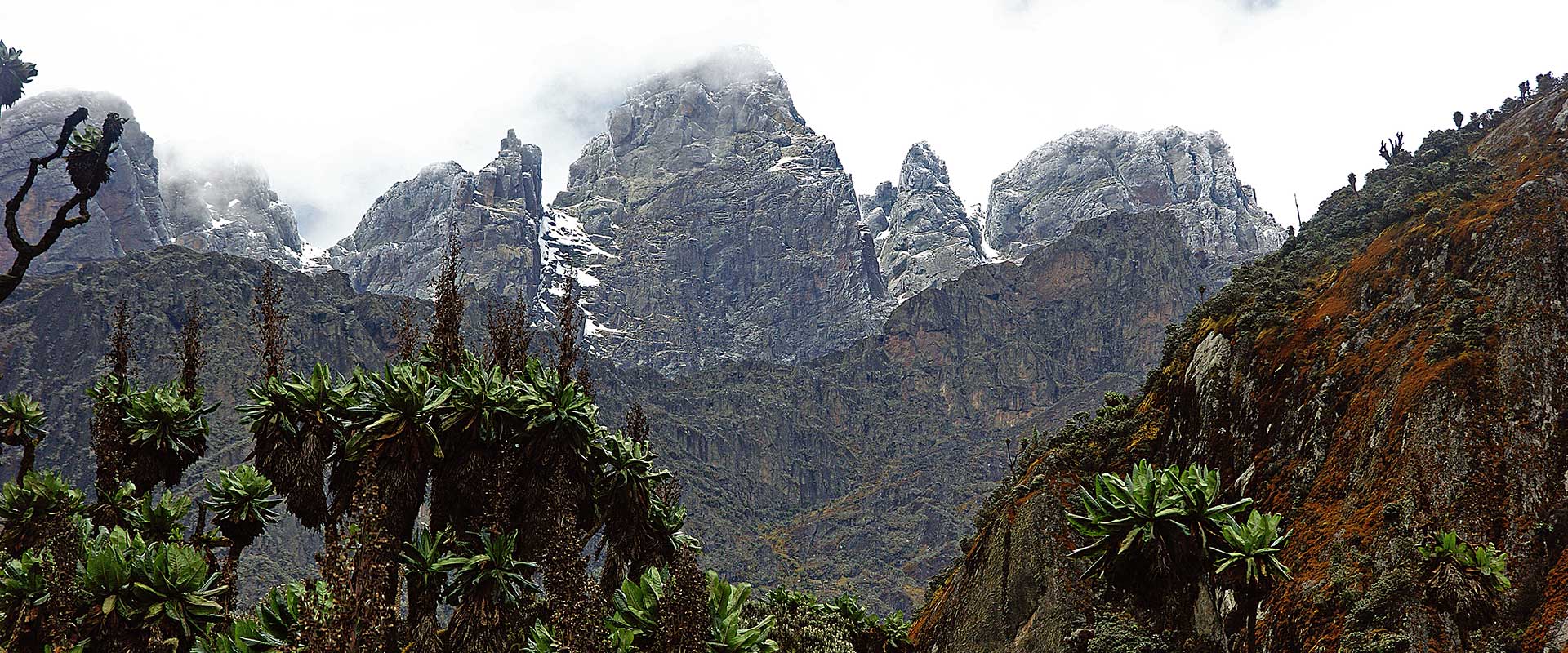
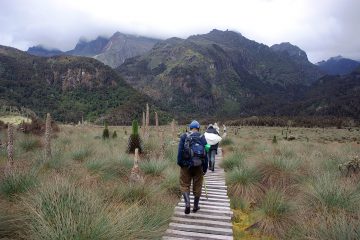
Trekking the Rwenzori Mountains in Uganda through the marvel of the high glaciers, the beauty of the valley of nine lakes, the bearded lichen hanging from enormous heathers, all set against a backdrop of steep cliffs, crags, and snow-capped peaks make it a truly spectacular and unique experience. The diverse flora and wildlife, as well as many biospheres, provide the ideal hiking experience as you rise through distinct plant zones. This one-of-a-kind and breathtaking journey has never been accessible before, and it is unquestionably one of the most magnificent hikes in the world.
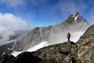
The Rwenzori Mountains are a UNESCO World Heritage Site that provides unparalleled views of nature. The flora ranges from dense tropical rainforest to bamboo forests, montane cloud forests, and alpine vegetation, with breathtaking vistas. Snow and glaciers over 4,500 meters lend a distinct dimension to the breathtaking vistas across this pristine mountain range.
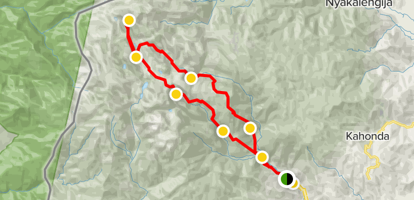
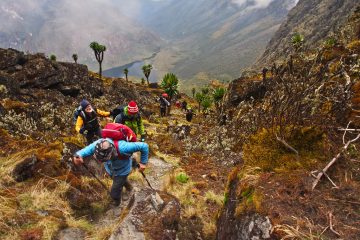
Rwenzori Hiking Services provides a choice of one-day to twelve-day trekking and climbing alternatives to fit your style of adventure and timetable. The Rwenzori range is a genuine mountain range with several rises and descents, making it a difficult trek, but the beauty and lush vegetation make it worthwhile.
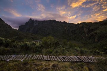
The moss-covered rocks, dense flora, huge peaks and cliffs rising above the moss-covered valleys and flowing streams create a “Alice in Wonderland mood” that varies through various biospheres as you climb, making the “Rwenzori Mountains” a really unique experience.
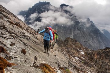
The major peaks may be seen from Bamwanjara Pass, which is located between Camp 3 and Camp 4 on the Kilembe Route. Mt Stanley is to the left, with Savoia, Great Tooth, and Elena Peaks, while Margherita Peak can barely be seen peeping over the top. Mt. Speke is in the center, while Mt Baker can be seen above the ridge ascending to Wiesmanns Peak on the left.
McConnells Prong is a tiny prong or finger-like rock on the ridge. The valley between Mt Stanley and Mt Baker may be seen from behind the prong. Our route continues down the valley or pass in the foreground through Kacholpe Lakes and Camp 4 before crossing the valley to Kitandra Lakes and Scott Elliott Pass from where the photo was shot. After that, you’ll ascend to Camp 5, our highest cabin at 4,460 meters, before attempting Margherita Peak.

