What to do at Mt Lolmalasin
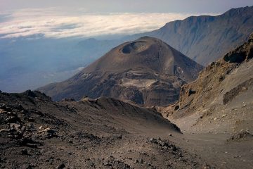
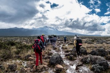
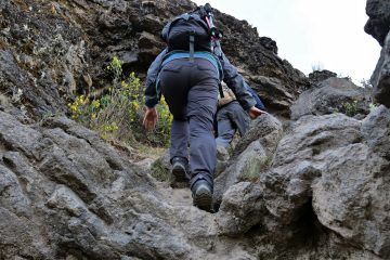
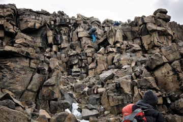
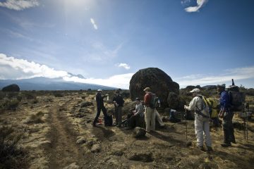
Hike to the peak and take in the views of the conservation area’s surrounding features. Hiking duration is anticipated to be one day, and an NCAA ranger is usually required.
Any time of year, with a focus on the dry season, which runs from July to January each year. In December, there may be a few showers.
Location Mt Lolmalasin
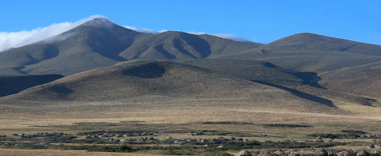
Mount Lolmalasin is located in northern Tanzania, on the eastern edge of the Ngorongoro Conservation Area. It’s both
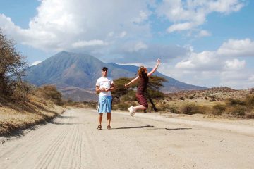
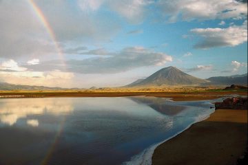
From the road leading to Empakaai crater, both it and its neighbor Losirua are visible. Please read the map below for further information about its location.
Getting there
You can get to the Lolmalasin Mountain by driving to one of the nearby settlements, perhaps Olturotowas or Nainokanoka, then climbing from there to the summit. Because it is located within the Ngorongoro Conservation Area, you will be forced to pay for the necessary permissions (see the NCAA website for more details).
Lolmalasin Overlooks the Olmoti Crater & the Nainokanoka Village
The Olmoti Crater is located in the Northern Ngorongoro Conservation Area, at a height of 3,088 meters. The Olmoti, which means “cooking pot” in Maasai, is an extinct volcano in Ngorongoro. Many grazing wild species including as eland, reed buck, buffalo, and bush buck, as well as Maasai cattle, call the Olmoti Crater floor home. Water flowing down from a spring inside the Crater makes a magnificent cascade that runs from the Crater wall across the caldera, down over the cliffs, and down the steep side ravine to form the Munge river. Munge River provides fresh water to humans and wildlife in the Ngorongoro Conservation Area, as well as marshes and Lake Magadi in the Ngorongoro Crater floor.
The Olmoti Crater is accessible via Nainokanoka, a Maasai settlement in the Ngorongoro Conservation Area, where the trek begins at the ranger station and continues through the forest to the top of the waterfall. Back from Olmoti, the depression formed when the slopes of the Olmoti, Empakai, Lolmalasin, and Losirua volcanoes (all Maasai names) met the rim of Ngorongoro Crater in the Ngorongoro Conservation Area. A tiny basin known as the Embulbul depression gathers and serves as a sink for a large amount of water that appears at the foot of the mountains.

