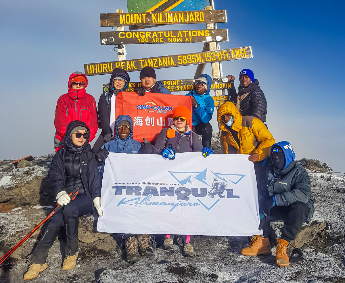
The best time for climbing Mount Kilimanjaro and at the same time witnessing one of the greatest spectacles on earth, the great wildebeest migration is during the dry seasons, which typically occur from late June to October and from January to around mid-March. These months offer clear skies, lower precipitation, and more stable weather conditions, providing optimal trekking conditions and higher chances of summit success. For safaris in Tanzania, including witnessing the wildebeest migration in the Serengeti, the timing varies depending on the specific wildlife viewing experiences you seek: Wildebeest Migration: The Great Migration, one of Africa's most spectacular wildlife events, typically occurs from July to October. During this time, millions of wildebeest, zebras, and other herbivores migrate across the Serengeti plains in search of greener pastures, making it an ideal time for witnessing dramatic river crossings and predator-prey interactions. Dry Season: The dry season, from June to October, is considered the best time for wildlife viewing in Tanzania's national parks, including the Serengeti, Tarangire, and Ngorongoro Crater. With vegetation becoming sparse and animals gathering around water sources, sightings of lions and other predators, elephants, giraffes, and other iconic species are more frequent. Calving Season: From January to March, the calving season occurs in the southern Serengeti and Ndutu area, attracting predators like lions and cheetahs in search of vulnerable prey. Witnessing the spectacle of thousands of wildebeest calves being born amidst the vast plains is a highlight of this period. In the rainy months, the mountain is often obscured by a thick mist which can make the trek very wet and the summit very cold and snow-covered. The rain often improves the views, but it can also make the trek very muddy and the rain may result in turning back before reaching the summit. For consideration of weather and
The best time for climbing Mount Kilimanjaro and at the same time witnessing one of the greatest spectacles on earth, the great wildebeest migration is during the dry seasons, which typically occur from late June to October and from January to around mid-March. These months offer clear skies, lower precipitation, and more stable weather conditions,
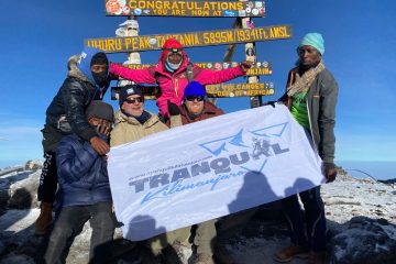
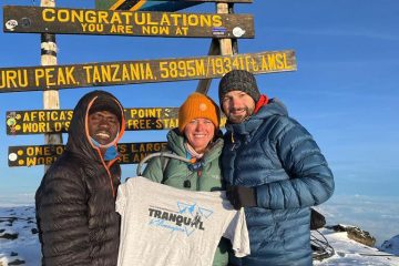
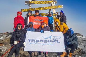
Crowds on Mount Kilimanjaro are dependent on the time of the year, you are climbing Kilimanjaro. You can read our article on how to climb Kilimanjaro and avoid crowding here. When we embark on our journeys to distant and unexplored natural areas, our hearts are filled with a hopeful yearning for tranquillity, solace, and seclusion. Yet, as the passage of time unfolds and the allure of these specific locations grows, the realization dawns upon us that the inevitable truth awaits us: the likelihood of numerous adventurers joining us on our paths, sharing their moments and experiences, whether we yearn for their presence or not. Thus, we find ourselves in a delicate dance of accepting the camaraderie and comradery that comes with fellow visitors, as we navigate through the terrain that once held the promise of solitude and individual connection with nature's untouched beauty. Barafu Camp (4,673 meters/15,331 feet): Located on the southern slopes of Kilimanjaro, Barafu Camp serves as a base camp for the final ascent to the summit via the Machame, Umbwe, and Lemosho routes. Climbers from these routes converge here before starting the summit push. Stella Point (5,685 meters/18,651 feet): Situated near the rim of the Kibo crater, Stella Point marks a significant milestone on the summit route from both the Machame and Lemosho routes. Climbers from these routes meet here before making the final push to Uhuru Peak, the highest point on Kilimanjaro. Uhuru Peak (5,895 meters/19,341 feet): As the highest point on Mount Kilimanjaro, Uhuru Peak is the ultimate goal for climbers from all routes. Whether ascending via Machame, Lemosho, Marangu, Rongai, Umbwe, or Shira routes, climbers converge at Uhuru Peak to celebrate their achievements and enjoy panoramic views from the summit. The most crowded routes You are more likely to encounter crowds on Mount Kilimanjaro
Crowds on Mount Kilimanjaro are dependent on the time of the year, you are climbing Kilimanjaro. You can read our article on how to climb Kilimanjaro and avoid crowding here. When we embark on our journeys to distant and unexplored natural areas, our hearts are filled with a hopeful yearning for tranquillity, solace, and seclusion.
When venturing into the great outdoors like trekking East African mountains like Mount Kilimanjaro, Mount Kenya, Mount Meru, Ol Doinyo Lengai or Rwenzori, donning a pair of gloves serves a multitude of vital functions. Not only do these essential accessories function as a reliable source of insulation, delightfully enveloping your hands with a cosy embrace even in the face of frosty weather conditions, but they also act as a formidable barrier against the unforgiving elements that Mother Nature haphazardly throws our way. Be it the fierce gusts of wind, the relentless rainfall, the ethereal snowflakes gracefully descending from the heavens, or the omnipresent sun's scorching rays, these remarkable gloves valiantly stand guard, shielding your delicate hands from the potential malevolence of these climatic phenomena. However, the significance of gloves extends far beyond their capacity to simply stave off the biting cold or keep your hands dry. Beyond their role as weather wardens, they serve as unwavering sentinels, ceaselessly safeguarding your precious limbs against any perils that may lurk amidst your thrilling outdoor escapades. By providing an additional layer of armour, these exceptional gloves diligently protect your hands from the pernicious threats of accidental cuts, vexing scratches, or painful abrasions that may unexpectedly manifest themselves during your exhilarating endeavours in the untamed wilderness. Drawing from the invaluable guidance impeccably outlined in the revered Tranquil Kilimanjaro gear list, it becomes abundantly clear that, for the audacious souls embarking on the awe-inspiring journey of conquering Mount Kilimanjaro, not one, but two distinct types of gloves have been deemed indispensable in your meticulously crafted kit. Yes, dear adventurers, this monumental undertaking necessitates the inclusion of not merely one, but a pair of purposefully tailored gloves, meticulously designed to withstand the unique rigours encountered during this majestic mountain odyssey. In this comprehensive dissertation, we shall
When venturing into the great outdoors like trekking East African mountains like Mount Kilimanjaro, Mount Kenya, Mount Meru, Ol Doinyo Lengai or Rwenzori, donning a pair of gloves serves a multitude of vital functions. Not only do these essential accessories function as a reliable source of insulation, delightfully enveloping your hands with a cosy embrace
The Andes Mountains extend along the western coast of South America through seven countries - Venezuela, Colombia, Ecuador, Peru, Bolivia, Chile, and Argentina. The Andes are the longest mountain range in the world and boast some of the tallest peaks. The range runs about 8,850 kilometers or 5,500 miles long and is still growing. The Andes range in climatic zones, from tropical to glaciers, and are home to many different environments. The range can be divided into three sections: the southern, central, and northern Andes. Although the Andes are an extreme barrier in a north-south direction, no point in the range is more than 200 kilometers (125 miles) away from the Pacific coast, and this proximity to the ocean largely explains the nautical history of the Andean people. The climate of the Andes varies greatly depending on location and altitude. The southern Andes are cool and dry, while the central Andes are hot and dry, located in a "rainshadow" created by the southern Andes. The dryness is interrupted by a rainy season in the months of January to March. The northern Andes are tropical and typically warm and humid. Overall temperature and moisture are becoming even more erratic in the Andes due to global warming. This can be seen in the melting of the tropical glaciers. Glaciers are retreating at an alarming rate of 3 to 8 meters per year around the equator. At this rate, the glaciers in the Andes may disappear in 10-15 years, along with them a crucial source of water for agriculture and urban usage. What Countries are the Andes in? The Andes, one of the most extraordinary mountain ranges on Earth, extend across the stunning countries of Venezuela, Colombia, Ecuador, Peru, Bolivia, Chile, and Argentina. This majestic and awe-inspiring range, divided into three primary sections,
The Andes Mountains extend along the western coast of South America through seven countries – Venezuela, Colombia, Ecuador, Peru, Bolivia, Chile, and Argentina. The Andes are the longest mountain range in the world and boast some of the tallest peaks. The range runs about 8,850 kilometers or 5,500 miles long and is still growing. The
The rockier peaks of the mountains are generally located in the southern regions of the country: Bavaria and Baden-Württemberg. And the closer you get to a peak, the more likely you are to run into a spectacular view. Because some of the mountains are so vast, there are cable cars and ski lifts for visitors to reach the highest points without the strain of hiking for a whole day. Hiking is by far the most popular activity, and some people will take weeklong hut-to-hut trips, but mountain biking, skiing, and rock climbing are also widespread activities. A number of the mountains have reservoirs and lakes at higher altitudes. Ettaler Mandl and Frieder are the only two peaks in Germany to have officially classified via ferratas (protected climbing routes). Germany is famous for its green countryside and mountains. With a high population density and thriving economy, the mountains are a quick refuge for people who live in the cities and an attractive destination for tourists from all over the world. Although Germany's mountains do not compare in height to the magnificent Alps that soar over a few of its neighbours, they still offer a wealth of outdoor opportunities. Germany and Austria both share a border with the Alps mountain range. The lowest slope of the country runs along Lake Constance, on the north side of the range, but the great 8,000-foot glaciated peak of the Zugspitze lies at the southernmost tip and is wholly within German territory. Situated in the heart of Europe, Germany, a Federal Republic, shares its borders with nine neighboring countries. Covering a vast area of approximately 138,000 square miles, this country showcases a diverse terrain, which is a common characteristic among nations in this particular region. While Germany is famous for its expansive forests, it also boasts
The rockier peaks of the mountains are generally located in the southern regions of the country: Bavaria and Baden-Württemberg. And the closer you get to a peak, the more likely you are to run into a spectacular view. Because some of the mountains are so vast, there are cable cars and ski lifts for visitors