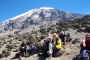
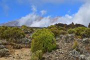
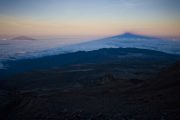
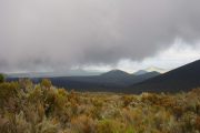
The 7 days Shira route package is seldom used mostly because Shira is an ancient route that does not follow proper acclimatization rules, therefore, we tend to recommend the more recent and improved version of this route, which is the Lemosho Route. The Shira Route, with its starting point near Shira Ridge is a rarely used route. It resembles the Lemosho route in so many ways. In fact, the Lemosho route is the improved version of the Shira route which is an old route.
 Advantages and Disadvantages of the Shira Route
Shira Route’s advantage is that it is very scenic with beautiful vistas and views but the main disadvantage is that its starting point is at very high altitudes making many climbers opt for Lemosho instead of Shira Route. The route starts at 3,596 meters and is not ideal for hikers that are not experienced, in climbing high altitudes. To reach the starting point of the Shira Route, you must go there by vehicle and on your first day of camping, you will most likely experience possible altitude sickness. The first camp on Shira is located at an altitude of 3596m (11, 800 ft).
The Shira trail ascent begins to form the western side of Mount Kilimanjaro after a long drive to Shira Ridge which is the starting point.
The long drive from Moshi goes through the rainforest zone and the hiking trail begins up to Shira Ridge which is the route’s starting point. The Shira route traverses the expansive and flat, table-like the ground of Shira
Then the route passes below the Southern Ice Field located on Mount Kilimanjaro’s Southern Circuit and then approaches the mountain’s summit via Barafu.
Normal Trekking Day on Shira Route
Tranquil Kilimanjaro strongly recommends climbers with previous hiking experience on high altitudes with this route, as normal days of hiking days will vary from 6-8 hours of hiking with daily ascents of 900m to 1000m, perhaps with the odd day ascending around 1,100m to 1,200m and climbing at an altitude of over 3,500m.
Shira Route’s Descent
After a successful summiting using the Shira Route, going down Mount Kilimanjaro uses a different descent route called the Mweka Route. Tranquil Kilimanjaro offers two variations of the Shira Route, namely
N:B The eight-day private climb via the Shira Route package adds an extra day at Moir Camp on the third day then proceeds to Barranco Camp on the fourth day of climbing Kilimanjaro.
- Location: The Starting point for the Shira route is the Shira Ridge with a long drive from Moshi town to the starting point
- Height: The Shira route leads to the summit of the majestic Mount Kilimanjaro. Uhuru Peak at an elevation of 5,895 meters (19,341 feet).
- Duration: We recommend the 7 days route more but the duration of the Shira route can also take 8 days with an extra day to Moirs hut on day 3.
- Trail conditions: The trail begins from a relatively high altitude, traversing varied terrain and vegetation zones on the mountain
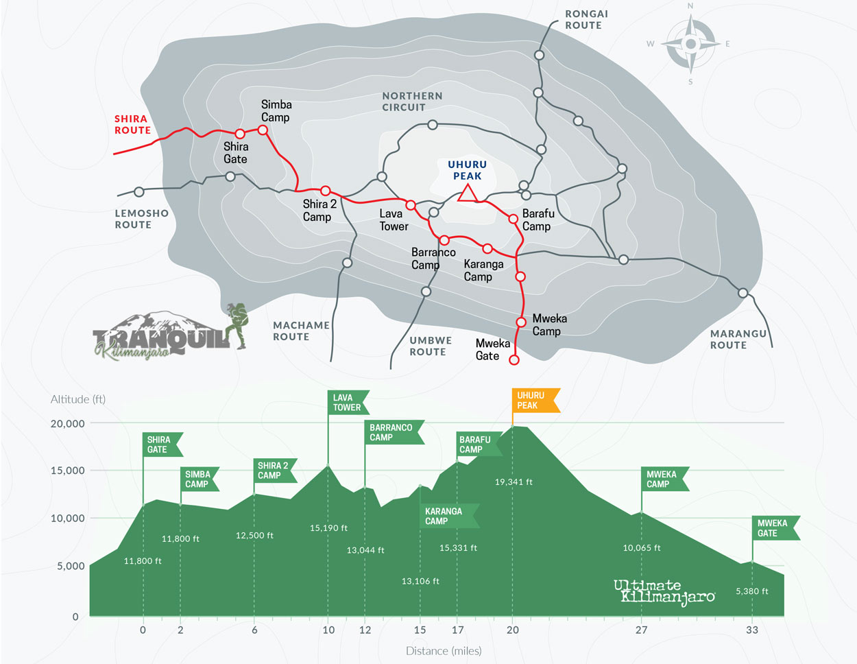
Shira Route itinerary
| DAY | START | ALTITUDE (M/FT) | FINISH | ALTITUDE (M/FT) | TIME (HRS) | DISTANCE (KM/MI) |
| 1 | Shira Gate | 3,600m/ 11,800ft | Simba Camp | 3,600m/ 11,800ft | 1-2 | 4km/ 2mi |
| 2 | Simba Camp | 3,600m/ 11,800ft | Shira 2 Camp | 3,810m/ 12,500ft | 2 | 6km/ 4mi |
| 3 | Shira 2 Camp | 3,810m/ 12,500ft | Lava Tower | 4,630m/ 15,190ft | 4-5 | 7km/ 4mi |
| Lava Tower | 4,630m/ 15,190ft | Barranco Camp | 3,976m/ 13,044ft | 2-3 | 3km/ 2mi |
| 4 | Barranco Camp | 3,976m/ 13,044ft | Karanga Camp | 3,995m/ 13,106ft | 4-5 | 5km/ 3mi |
| 5 | Karanga Camp | 3,995m/ 13,106ft | Barafu Camp | 4,673m/ 15,331ft | 4-5 | 4km/ 2mi |
| 6 | Barafu Camp | 4,673m/ 15,331ft | Uhuru Peak | 5,895m/ 19,341ft | 7-8 | 5km/ 3mi |
| Uhuru Peak | 5,895m/ 19,341ft | Mweka Camp | 3,068m/ 10,065ft | 4-6 | 12km/ 7mi |
| 7 | Mweka Camp | 3,068m/ 10,065ft | Mweka Gate | 1,640m/ 5,380ft | 3-4 | 10km/ 6mi |
| | | | | | |
Shira route success rate
The success rate for using the Shira route is considerably high but only recommended for experienced mountaineers since the starting point of the Shira route, the Shira Ridge is set at high altitudes.
Related
Additional information

 Advantages and Disadvantages of the Shira Route