Mount Rungwe Hiking
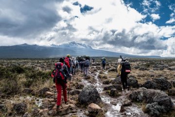
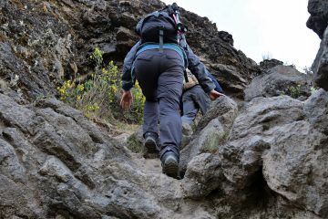
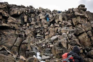
You may trek up and down in a day (allow around 10 hours) if you get an early start, going through gorgeous stretches of tropical forest. There are various options, but not all of them are constantly open. Paths are frequently overgrown and indistinct, and it’s easy to become disoriented, so having a guide is vital.
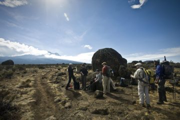
Paths are frequently overgrown and indistinct, and it’s easy to become disoriented, so having a guide is vital. Before ascending, you must first visit Tukuyu’s Ofisi za Muhifadi ya Milimani Rungwe. It’s across the street from the NMB bank, in the Municipality Building (Majengo ya Halmashauri) (note: not NBC bank). You may pay the requisite fee and hire a guide (US$15 per group) at this location. It will also educate you about the best route to take. Rungwe Tea & Tours as well as Bongo Camping can assist you in planning a Rungwe climb.
Location of the Rungwe Mountains
Rungwe is located at the intersection of the East African Rift’s eastern and western arms. It looms large above the hilly region at the northwestern extremity of the basin that holds Lake Malawi.
To the east, the Kipengere Range, and to the north, the Poroto Mountains. To the southeast, the Kyejo volcano (or Kiejo) (2176 m) may be found. To the south, the Kyela Plain stretches all the way to Lake Malawi, occupying the basin of the East African Rift.
The Kiwira River, which falls into Lake Malawi, drains the mountain’s western slopes.
How to Get There
Mount Rungwe Nature Forest Reserve is around 80 kilometers from Songwe International Airport. This makes it easier for those from beyond the Mbeya region, as well as outsiders, to access the site. Because the airport does not yet accept international aircraft, travellers must always travel through Dar es Salaam. The daily flights, on the other hand, are proving to be popular with the region’s burgeoning economic sectors.
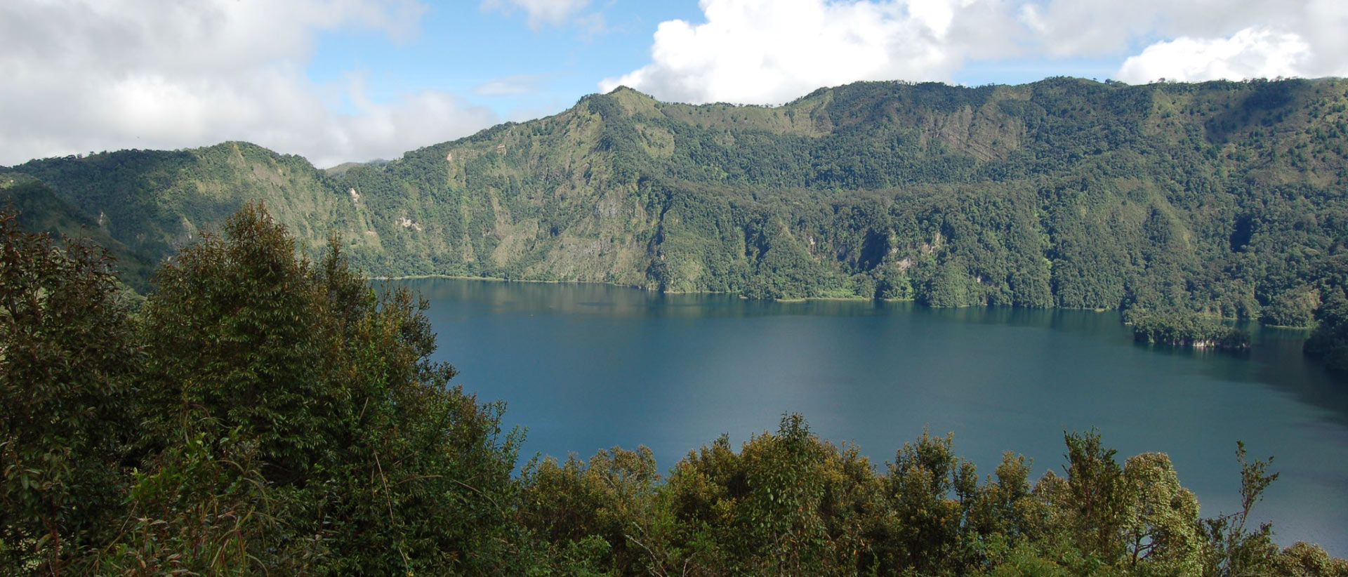
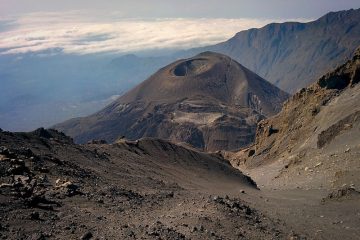
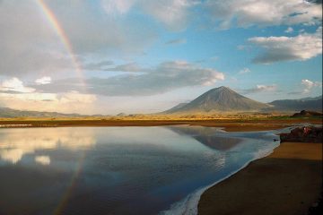
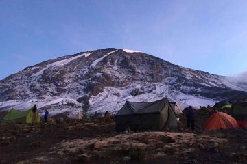
Mount Rungwe features Rungwe Peak (2,981 meters above sea level), a desolate mountain peak from which one can see Poroto Ridge, Mbeya Peak, Loleza (Kaluwe) Peak, and places reaching down into Malawi. Mountain hikers and climbers flock to these areas. A Crater Lake Lusiba, located at 2,400 m a.s.l. below the bamboo belt, is another point of attraction. Lusiba-lukafu is an evergreen brook that dries out during the dry season and runs during the wet. Masieto, where the Nyakyusa conduct traditional rites or ceremonies, is one of the distinctive locations of traditional value to the surrounding people.
Mount Rungwe Nature Forest Reserve
The largest section of Mount Rungwe (13,652.1 hectares) was designated as a Catchment Forest in 1949. To improve its protection, the forest reserve was designated as a Nature Forest Reserve in 2009.
Mount Rungwe’s plant communities change with altitude. Miombo woods dominate the neighboring lowlands. Lower montane evergreen forests may be found on the forest reserve’s lower slopes, notably towards the southeast.

