Loleza Peak
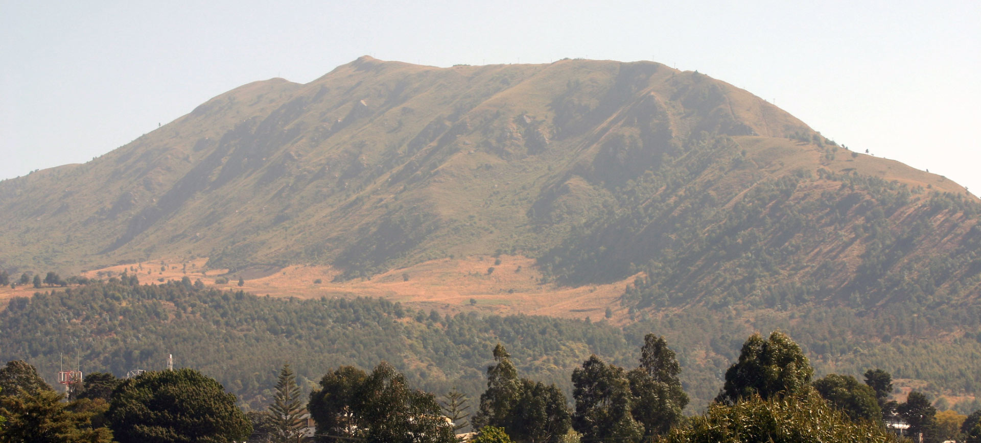
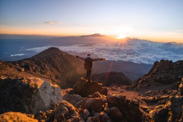
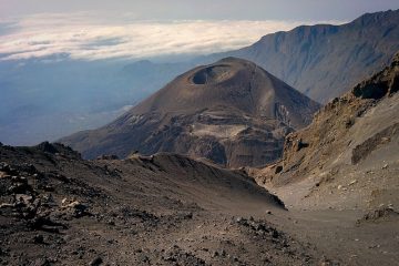
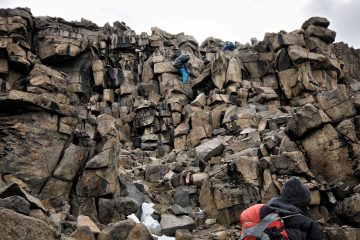
Loleza Peak is a 2,656-meter-high (8,714-foot) peak in Tanzania’s Mbeya Region. It is situated in the Mbeya Range, approximately north of Mbeya city. The moth Zamarada loleza has its type location here.
Poroto Mountains
The Poroto Mountains are a mountain range located in Tanzania’s Mbeya Region. They are situated to the east of Mbeya. The Poroto Mountains are part of the Southern Highlands and are a northwestward extension of the Kipengere Range. The Poroto Mountains, which are part of the Rungwe Volcanic Province, are volcanic in nature.
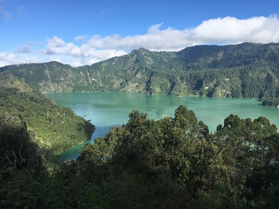
The volcanic caldera of Ngozi or Ngosi (2621 m) features Lake Ngozi, a crater lake. The Porotos’ highest peak is on the caldera’s northern rim. Ngozi and the southern slopes of the Porotos are two of Tanzania’s wettest regions.
The Kiwira River, which runs southwards into Lake Malawi, drains the southern slopes.
Poroto Ridge Forest Reserve (240.34 km2), which contains Ngozi and a huge stretch of montane evergreen rainforest, was created in 1937.
The 3.19-square-kilometer Ngalijembe Forest Reserve is located northeast of the Poroto Ridge Reserve.
River Kiwira
It originates southeast of Mbeya in the Poroto Mountains and receives various streams that originate on Mount Rungwe’s slopes, including the Marogala, Sinini, Kipoke, Kilasi, and Mulagala.
Kijungu Falls is located in the river’s upper course. It then flows southeast until emptying into Lake Malawi’s northern end near Kyela. The Kyela Plain, located northwest of Lake Malawi in the East African Rift Valley, is where the lower course runs. Rice and other crops are heavily farmed on the Kyela Plain.
Daraja la Mungu
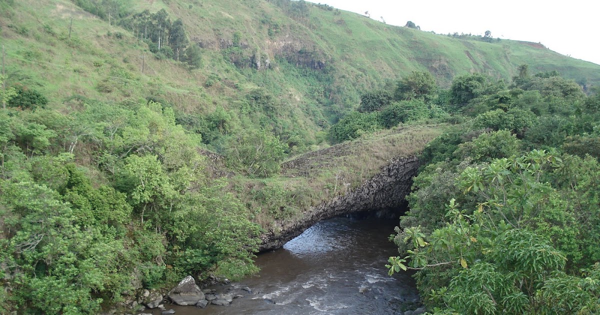
Daraja la Mungu (Swahili: “Bridge of God”) is a natural bridge that spans the Kiwira River at 9.27703°S 33.55185°E, said to have been constructed by a lava flow from Mount Rungwe less than a thousand years ago. It may be seen from a man-made bridge 500 meters upstream that spans the river.
The Southern Highlands are a highland area in southwestern Tanzania, near Lake Malawi’s northern edge. The Mbeya, Njombe, Rukwa, Ruvuma, and Songwe areas, which border Malawi, Mozambique, and Zambia, are part of the highlands. Mbeya is the highlands’ major city.
The Southern Highlands
The Mbeya Mountains, Poroto Mountains, Kipengere Range, Mount Rungwe, Kitulo Plateau, Umalila Mountains, and Matengo Highlands are among the plateaus and volcanic mountains that make up the highlands. Between Lake Tanganyika and Lake Rukwa, the Ufipa Plateau stretches northwest. The East African Rift’s eastern and western branches meet in the highlands, and the Western Rift extends south to the Lake Malawi valley. The Makambako Gap divides the Southern Highlands from the Eastern Arc Mountains to the northeast.
Lake Ngozi.
The highest peaks in the highlands are Mt. Rungwe (2,960 meters) and Mtorwe (2961 meters) in the Kipengere Range. Other notable peaks are the Kipengere Range’s Chaluhangi (2933 m) and Ishinga (2688 m), the Poroto Mountains’ Ngozi (2621 m), and the Mbeya Mountains’ Mbeya (2826 m), Loloza (2656 m), and Pungulomo (2273 m).
The Mbeya Mountains’ northern and eastern slopes, as well as the eastern half of the Ufipa Plateau, flow into Lake Rukwa’s confined basin. The Great Ruaha River, a tributary of the Rufiji River, drains the Mbeya and Kipengere mountains’ eastern sides.
The Safwa People of Mbeya Mountains
The Safwa are a Tanzanian ethnic and linguistic group that live in the Mbeya Mountains. The Safwa language belongs to the vast Niger–Congo family of languages. Ishisafwa, Cisafwa, and Kisafwa are some of Safwa’s other names. Guruka, Mbwila, Poroto, and Songwe are its dialects.
The population of Safwa was estimated to be over 158,000 in 1957. The tribe’s population is predicted to reach 450,000 in 2012, following the national census. During the German occupation, the Wasafwa population grew from 9,000 in 1910 to 20,000 in 1920.

