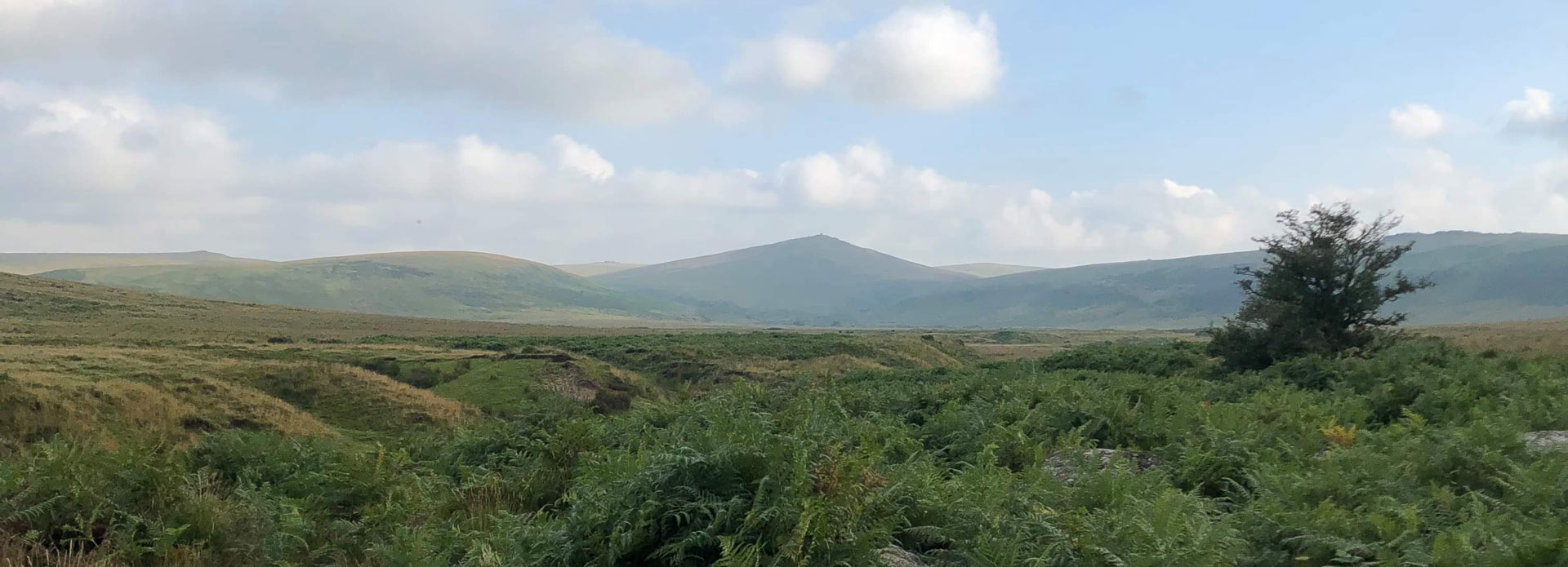
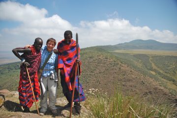
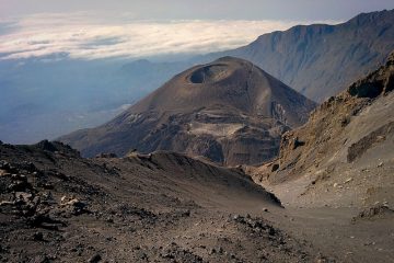
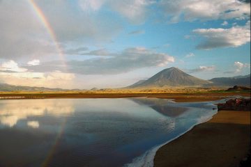
Mount Losirua is a gradually sloped mountain found inside the Ngorongoro conservation area and is one of the land formations of east Africa’s Gregory rift. Its northern neighbor, Lolmalasin, is joined to it by a high ridge, giving the impression that they are one mountain range.
Hiking Losirua
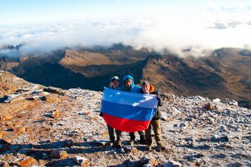
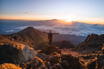
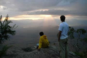
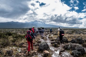
Hike to the summit for the sights or simply for enjoyment and to see what it has to offer. The climb may need the presence of an armed Ngorongoro Conservation Area and Authority (NCAA) ranger.
Best time to visit the Mount Losirua
Any time of year, with a special emphasis on the dry months of July through December.
Mount Losirua’s location
Losirua mountain lies in northern Tanzania, at the eastern boundary of the Ngorongoro conservation area and close to its neighbor Lolmalasin. Nainokanoka, about 3 kilometers west of it, is the closest village. Please read the map below for further information about its location. Arusha town is about 212 km from the Nainokanoka Village.
How to get to Losirua Mountain
You can opt to walk from one of the local villages and settlements, which are also accessible by vehicle – either your own, a tour bus, or a rented car. Because it is located within the Ngorongoro Conservation Area and Authority (NCAA), you will need to pay for the necessary entry permits before visiting Losirua.

